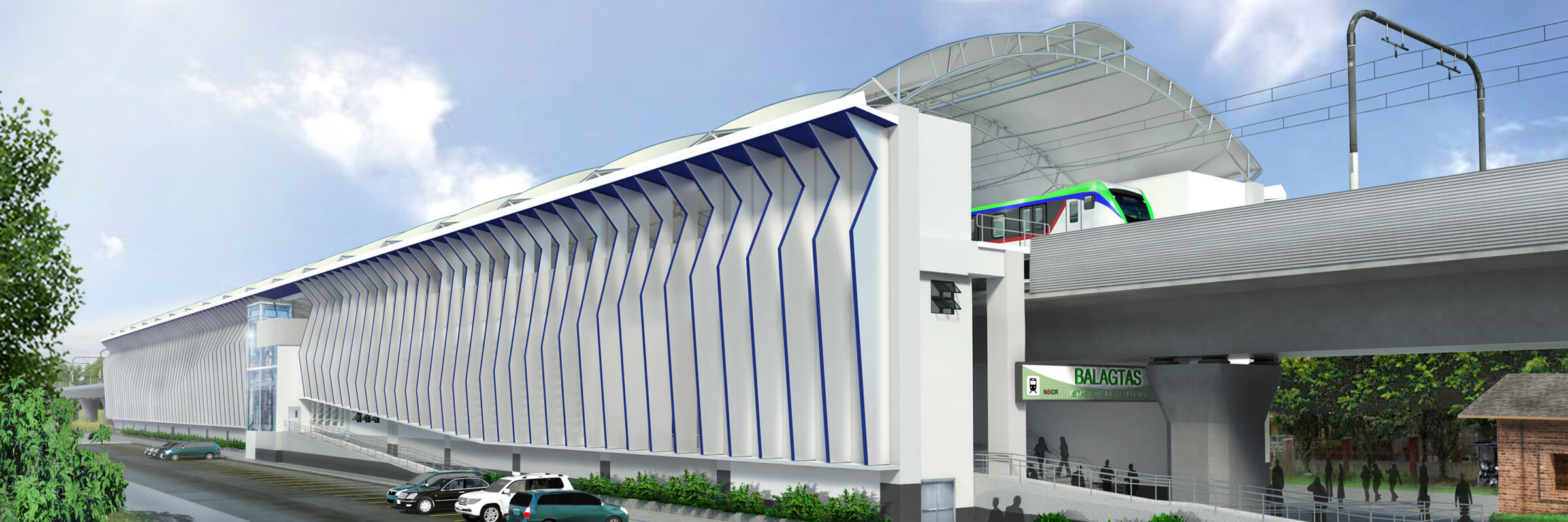
Digitally
Managing
Pakistan’s
Highways
Assets

Desde los primeros pioneros en el Esquema Hidroeléctrico Snowy Mountains hasta nuestros líderes e innovadores de hoy, nuestra gente nos hace quienes somos.
A través de nuestra red de especialistas globales y colaborando con socios locales, lo conectamos con los mejores equipos y capacidades para brindar soluciones altamente innovadoras y sostenibles.
Como organización, evaluamos continuamente las formas en que podemos brindar un lugar de trabajo seguro, flexible, inclusivo y respetuoso para nuestra gente y nuestros clientes.
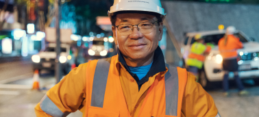
Las personas están en el corazón de nuestra organización, nos esforzamos por crear un entorno flexible, diverso e inclusivo que permita a nuestra gente prosperar al máximo de su potencial.
Explore career opportunitiesSMEC, through its subsidiary EGC, partnered with the National Highway Authority to conduct a geographic information system (GIS) survey and develop a geo-database covering the entire national highway network in Pakistan, which exceeds 12,000 kms of roads.
The project solution was delivered entirely in-house. The first phase involved surveying and collecting differential GPS Field Data, photos and video for all assets such as roads, bridges, structures etc.
Once data collection was complete, our specialists developed an enterprise-level, central geo-database, with a GIS-based mobile application and web-based dashboards. The final solution is a comprehensive Decision Support System (DSS) that enables NHA to monitor and maintain their assets more effectively. Existing data was also seamlessly integrated with new data, collectively forming a central information hub for decision makers.
Objectives of the project are to:
Pakistan
National Highway Authority (NHA)